Harvey Houlahan
ML that delivers. Geospatial ML at ArborMeta; GPU physics and pretraining studies here, live in the browser.
Sydney, NSW → open to EU / US
I grew up on a cotton farm in Queensland. Initially I set out to become a doctor; three months in I found myself programming more than studying medicine, so I switched to computer science.
Two kinds of work. Retainer, build, or advisory.
Climate & spatial ML
What I do every day.
- Climate and carbon measurement workflows from spatial data
- Spatial pipelines that stay fast at continental scale
- Biodiversity monitoring and precision-ag models
Applied ML & AI systems
Fine-tuning, search, deployment.
- Training and fine-tuning on your data, on your budget
- Search that understands what users mean
- Deployment without marrying you to one API vendor
Ongoing engineering capacity, month to month.
A pipeline, a model, an app. Scoped on a call, priced up front, handed over runnable.
Architecture reviews, model audits, a second opinion before you commit a quarter.
1.75 to 1.18, fixed compute
40M parameters, fixed compute. Every experiment kept, failures included.
Read the report →Compute-optimal scaling, byte level
At byte level N_opt still tracks C, but the exponent bends (local b 0.98 → 0.68) and a browser cap inverts the optimum.
Read the study →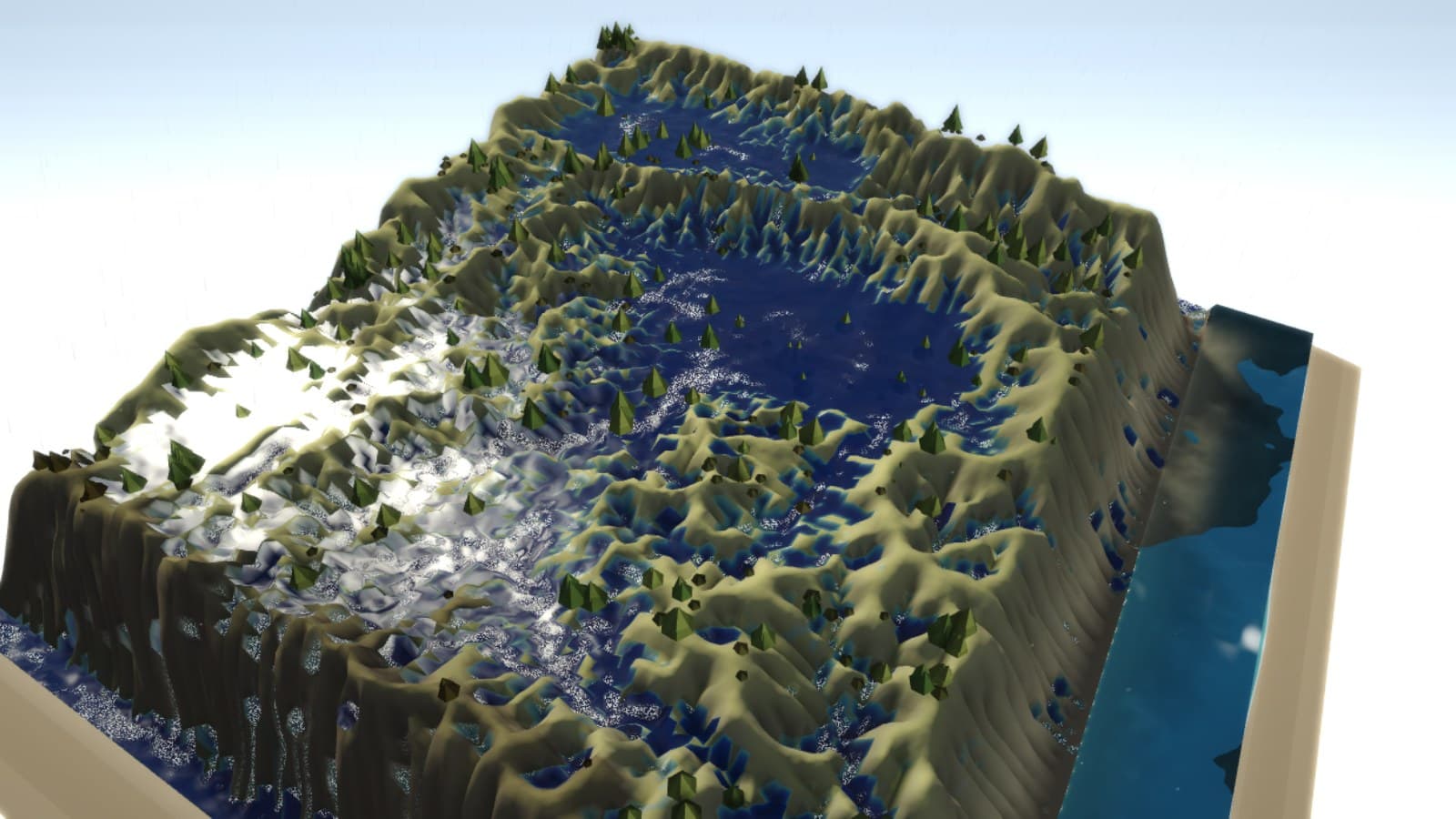
Worlds that run in a tab
WebGPU physics, artificial life, a terminal that speaks plain english. No servers.
Enter the playground →